Vitals
- Locale: Western Nepal
- What It's Like: A wild adventure through western Nepal with a huge variety of whitewater.
- Class: V
- Scouting/Portaging: Varied - easy to difficult.
- Level: Visual. Go before or after the monsoon.
- Time: 6-10+ days
- When To Go: Northern hemisphere fall or spring.
- Info From: November 2013
- Other Beta: Purchase the Nepal Whitewater Guidebook for invaluable info about the Humla Karnali, and Nepal in general.
- Map: Click here for a map of the river zone.


Description
Keep in mind this information is from the fall of 2013. Nepal is a rapidly changing, disorganized country and some of the info presented here will likely not be applicable in the future. Places (spelling, actual location) are difficult to pinpoint and roads are constantly pushing deeper into the mountains. Pete Knowles Nepal whitewater guidebook description of the river is accurate.
The Humla Karnali is an epic river trip through the wild, remote and rugged mountain terrain of western Nepal. Arising in China and flowing across Nepal, into India and ultimately the Ganges, this is a major river basin that provides a fantastic whitewater journey starting as a small mountain stream at the put in and finishing as an enormous river as is exits onto the Indian plains. The grandeur of the location, both the quality and quantity of the whitewater and the adventurous travel in the area combine to make this one unforgettable river experience.
The whitewater of the Humla Karnali is diverse, with everything from small volume floating to big volume class V, and everything in between. Compared to the Thuli Bheri, the other popular long whitewater trip in western Nepal, it is more strenuous, more remote, there is a fair bit more class V whitewater and there is a lot more variety in the difficulty along the length of the river. They are both amazing trips with fantastic whitewater, but for different reasons. The only (significant) negative point of the Humla is the locals in the upper reaches are not friendly. Almost all groups in recent years report problems with the locals displaying hostility and throwing rocks and other debris at paddlers. For this trip, it lasted until well below the Mugu Karnali confluence.
The Humla has no gauge, so you just have to show up at the put in and hope for the best. It's a long way from home, so you're probably going to take a crack at it whatever the flow once you get to Simikot. The best seasons are in November after the monsoon high water, and again in April before the monsoon. It's probably possible in the winter but it would be freezing cold in the upper reaches, and the water may drop down to be tediously low. The volume changes drastically over the course of the run, starting at an estimated 15 cms and finishing at 250+ cms.
Unless you have the time and motivation to walk for weeks, the normal access point for the Humla is from Simikot, a remote town with an airstrip in northwestern Nepal at an elevation of about 3000m. There are several local airlines that regularly fly to Simikot from both Birendranagar/Surkhet and Nepalgunj. Birendranagar is a much nicer town to spend time in if you have to wait a few days for flights. Expect a 15+ hour journey from Kathmandu or Pokhara to reach either location. Groups have run the Humla from all the way upstream to the border with China. This is briefly discussed in the Knowles guidebook.
The best way to secure a flight to Simikot is to just go to the Birendranagar airport and talk in person with the local airlines. There are regular flights to Simikot, and we arranged to have the boats flown on a cargo flight the day before we flew in aboard a passenger flight. With Goma Air, the cost was approximately $300 USD per person. The airstrip in Simikot is paved, and the planes drop in quick after passing over a ridge south of the town.
Simikot is an interesting town perched on the side of a mountain far above the river. The views are mind blowing in all directions, and it's well worth spending a day or two at one of the local hotels - we found the Sun Valley Resort (uphill and to the left of the airport) very pleasant. The walk from town to the river probably takes 2-3 hours. Porters were readily available around the airport. As we were leaving town, the local authorities (police or military, it wasn't clear) wanted us to chat with us, and for us purchase a permit to go down the river. The fee was nominal and we had a nice chat with them before they sent us on our way. It's not clear if this happens to everyone or not.
It's generally accepted that the Humla Karnali is a 7 day trip, and completing the whole Karnali down to the main road bridge at Chisapani adds another 3 days (10 days total). While the road does reach the river below the Tila Khola and you'll get back to Birendranagar in 12 hours or so if you take out right away, it's a nasty bus ride on a terrible road. Paddling out the lower Karnali is an infinitely more desirable option.
The Humla is a really long trip, and sorting your way through the whitewater without too much of a 'guide' is great fun so we will keep the details to essentials only. There is a lot of great camping on the Humla. It's highly recommended, because of the nasty locals and their rock throwing, to search out campsites away from both the riverside trail and local villages.
The Humla starts out below Simikot with some nice warm up rapids. There are three notable portages in the first 20 km, and you will avoid substantial amounts of pain if you portage at the right locations. The first portage is at the first big horizon line. Portage on the obvious trail on river right for about 30 minutes. The second portage is the trickiest one. Following some flat water, you will reach some class IV rapids with a rocky beach on the left. It's easiest to get out at this point and walk down the river left trail. Although the entrance rapids look sweet, the trail goes far above the river and it's really hard to get out of the canyon if you paddle to the brink of the unrunnable rapids. This is a strenuous 1.5 hour portage. Put in when the trail goes back down to the river. The third portage is obvious - take the river left trail and go back to the river at a large landslide so you don't miss out on an awesome rapid.
Once you finish the third portage the uninterrupted whitewater starts for good. It begins with a section of class IV-V. Watch for a sieve portage near the start of the section. There are several standout rapids here, notably a long class V rapid when a large creek enters from the right. The rapids ease slightly below here and continue down past Sarkegad (large blue bridge) and to the confluence of the Lochi Karnali, which has a great campsite.
There is a class V canyon below the Lochi Karnali confluence that takes about half a day to paddle through. Scout and portage as appropriate. Rapids continue through to the Mugu Karnali confluence. By now, the volume has increased substantially. The 80 km of river between the Mugu Karnali and Tila Khola are some of the most enjoyable on the river. Keep an eye out for the Millhouse rapid, another huge rapid just after it, a standout section of big water IV+ read and run, and the big water class V canyon near Sani Gad. The Tila Khola again increases the volume significantly (as all the tribs do). This is the first place you'll see the road, and the town at the confluence is a good resupply spot.
Below the Tila Khola remain a handfull of fun big volume, relatively low consequence rapids before the long flat section between the end of the Humla (not sure where the name changes) and the classic lower Karnali run. You can take out anywhere the road is close to catch a bus back to town. The preferred option is to keep paddling for another 3 days. Whatever you decide, revel in having completed what is certainly one of the most classic long multiday trips in the world!
A note on timing. We found the Humla Karnali was very manageable as a 7 day trip, spending 5-8 hours on the water each day. Day 1 we hiked to the river and paddled to the start of the second portage. Day 2 we did the second (longest) portage and made it a few km below the third portage. Day 3 we reached the Lochi Karnali. Day 4 we reached the Mugu Karnali. Day 5 we made it almost to the start of the 10 km grade IV+ big water section mentioned in the Knowles guidebook. Day 6 we camped near the Tila Khola confluence and we took out in the early afternoon of day 7 once we reached the road. The main road bridge on the Karnali is another 3 days downstream.
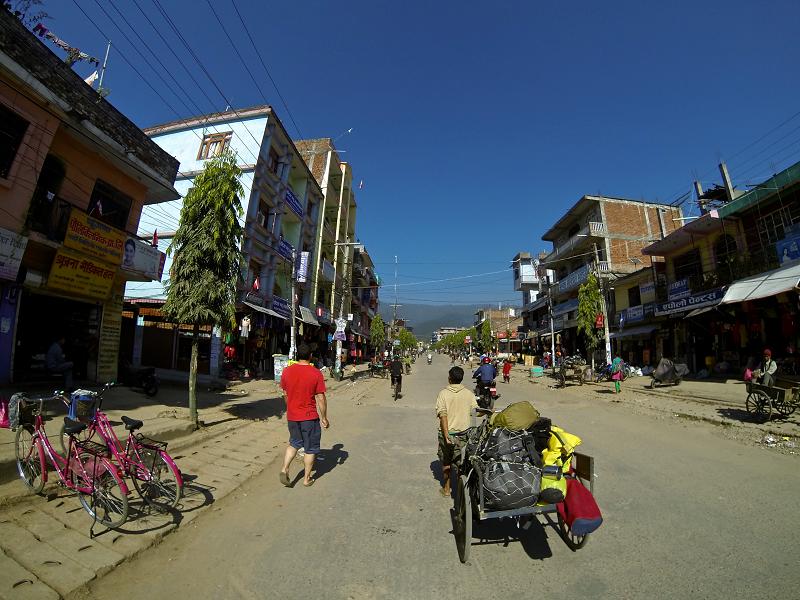 Checking out the main street of Birendranagar while waiting to fly in to Simikot.
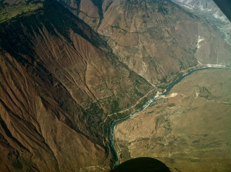 The flight to Simikot passes over long stretches of the Humla Karnali.
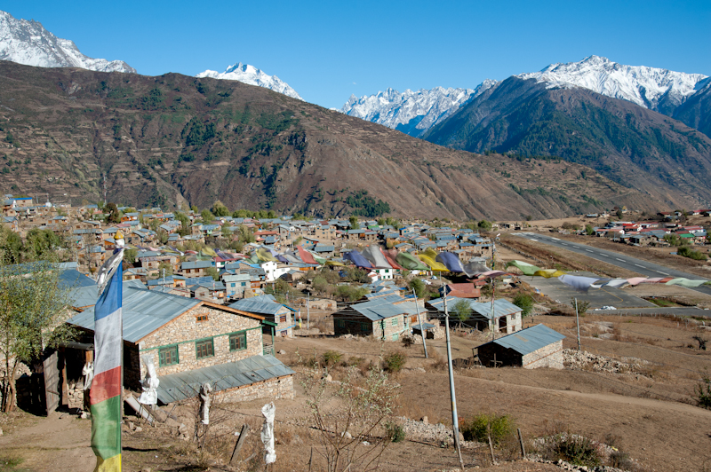 Simikot is a regional hub with a paved airstrip. It's also surrounded by 6000m mountains.
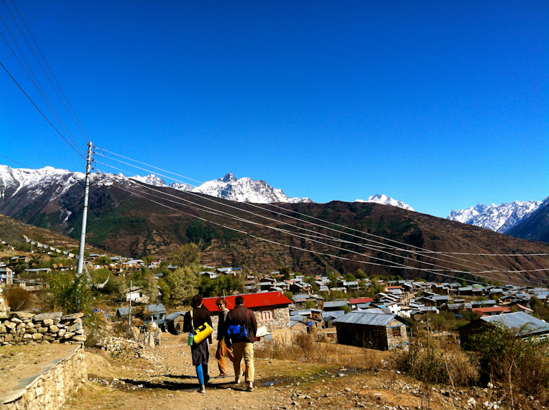 Taking the time to stay a day or two in Simikot is worth the effort, especially if your gear comes in on a later flight.
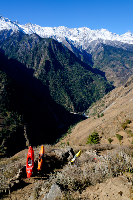 There are a lot of porters at the airport eager to carry your stuff from the town down to the river. You'll have to haggle to get a good price.
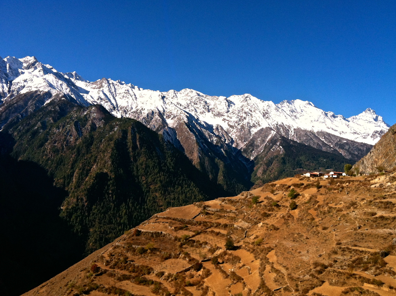 The view up the Humla valley.
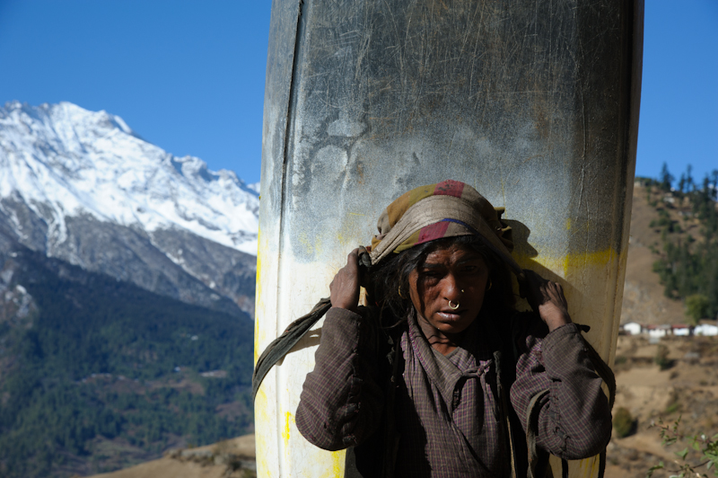 Tough.
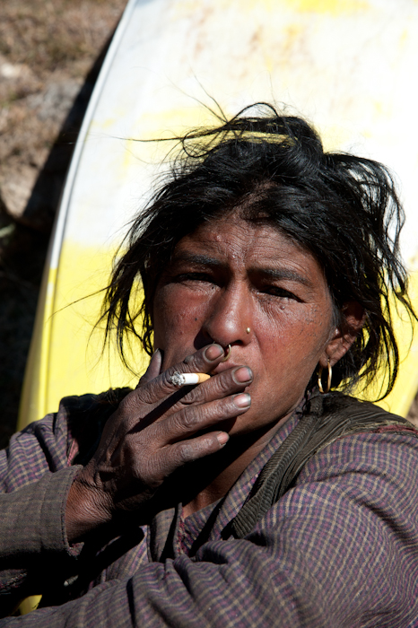 Yeah, real tough.
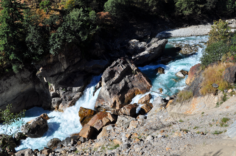 All three of the portages on the first day are around sieved out cataracts like this one. This is the second portage.
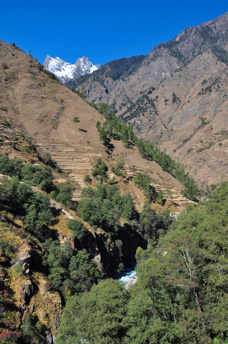 Looking upstream through the portage canyons of the upper Humla.
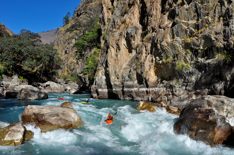 After the portaging is over you quickly get into the first section of good class IV-V.
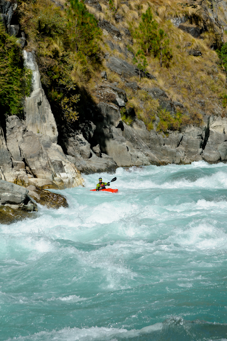 Fun whitewater below the third portage and above Sarkegad.
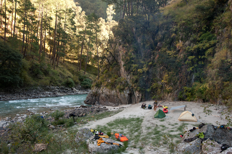 Awesome camping away from the riverside trails in the middle of the good whitewater above Sarkegad.
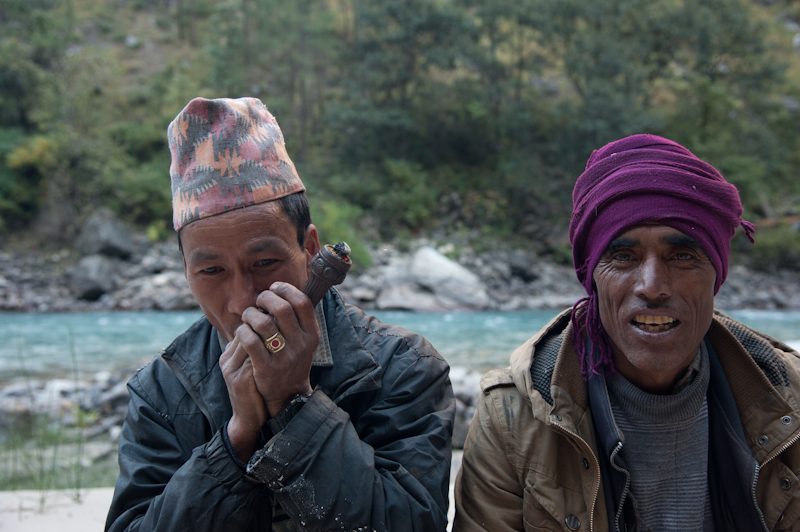 Some local goat herders smoking something potent.
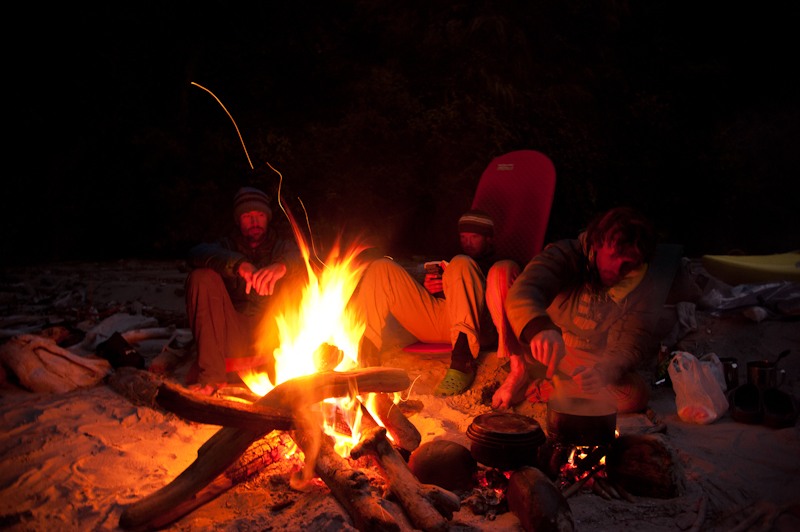 There is no shortage of firewood if you choose campsites that are only accessible from the water.
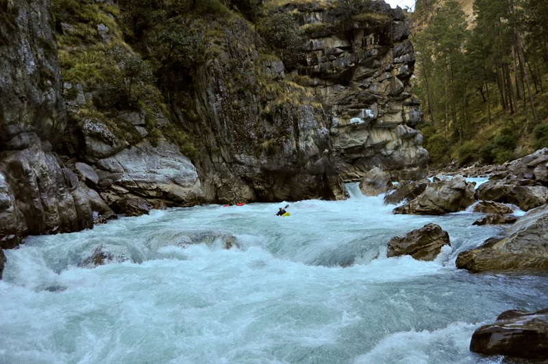 One of the stand out rapids above Sarkegad. Shortly after this rapid is a stout section of rapids where a creek/landslide enters on the right, then it mellows out a bit for a long stretch of read and run down to Sarkegad.
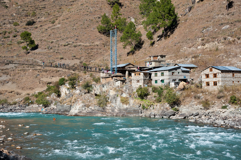 Sarkegad. This upper stretch of river was the worst part for having to avoid the local people hurling rocks at us on the river.
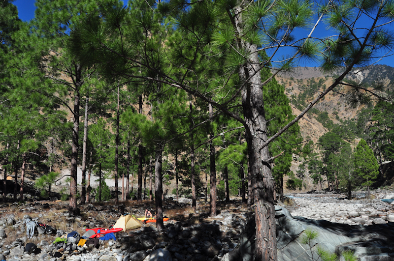 The awesome camp site at the confluence of the Humla and Lochi Karnali.
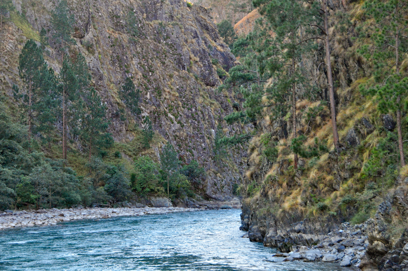 The intimidating downstream view of the 'day 4 canyon' from the Lochi Karnali confluence.
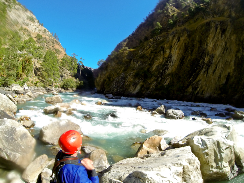 Scouting one of the last big rapids of the day 4 canyon, an exciting line along the left canyon wall.
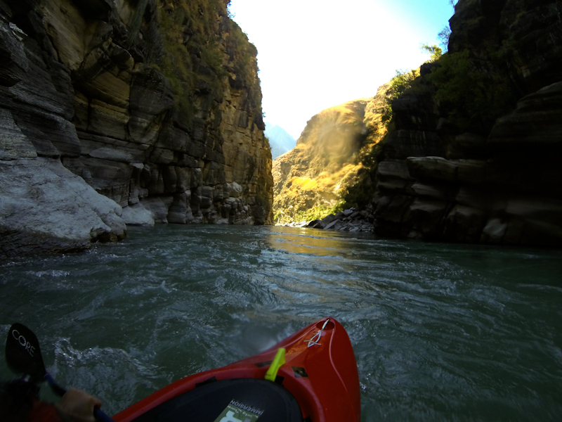 Scenic flatwater above the Mugu Karnali confluence.
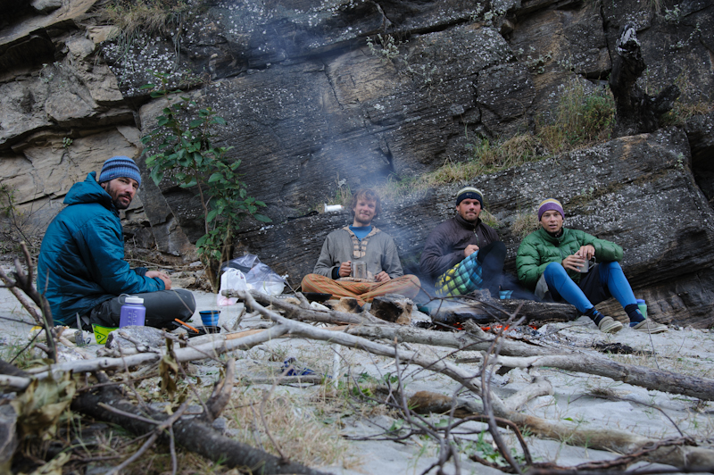 Campsite a few km below the Mugu Karnali confluence.
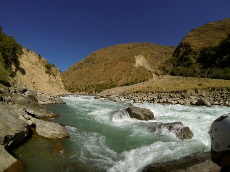 Taking a good look a drop we think the Knowles guidebook calls the Millhouse Rapid.
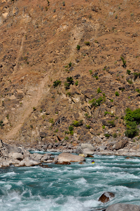 The volume has grown significantly by the middle of day 5.
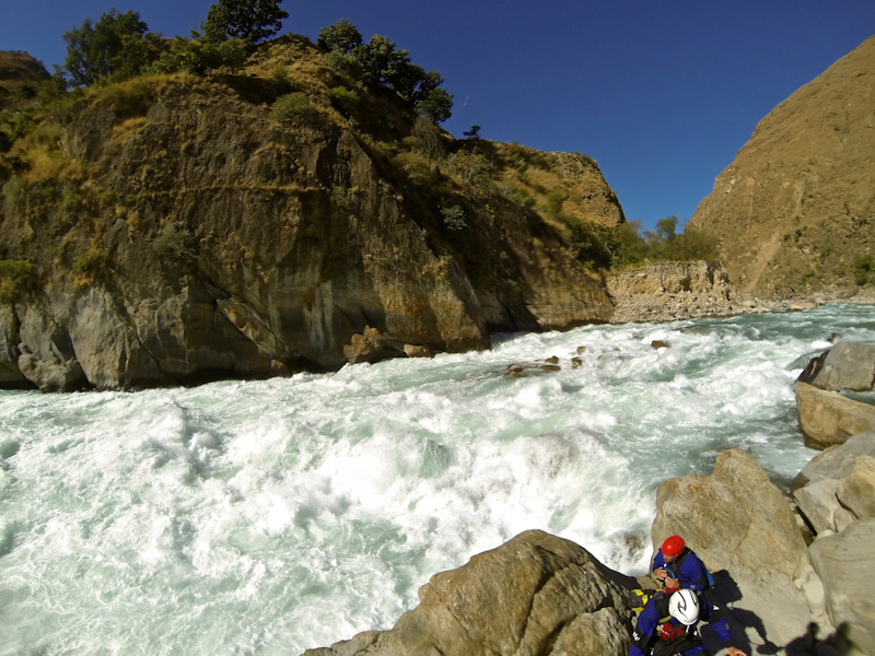 This rapid a few km below the Millhouse Rapid is one of the biggest rapids of the trip.
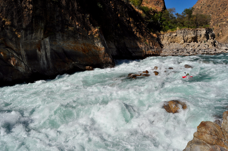 It's a big rapid.
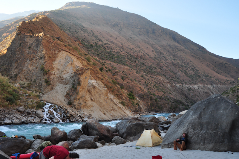 A random sandy beach campsite we took late on our day 5.
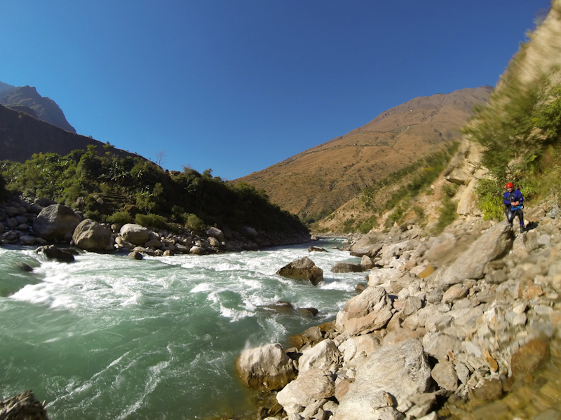 The whitewater on our day 6 (from below Thirpu to the Tila Khola confluence) was perhaps the best of the trip. Big volume IV+ open valley rapids in the morning followed by a class V canyon in the afternoon. This one was early in the day.
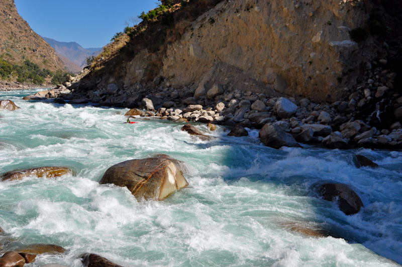 Endless classic rapids on day 6.
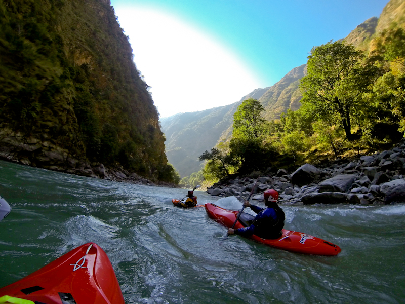 Approaching the Tila Khola. The town at the confluence has road access and is a good resupply stop if you're going all the way through the lower Karnali.
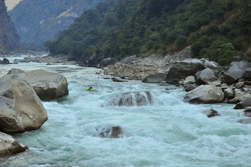 The rapids below the Tila Khola confluence are huge, but they aren't as demanding as the rapids upstream.
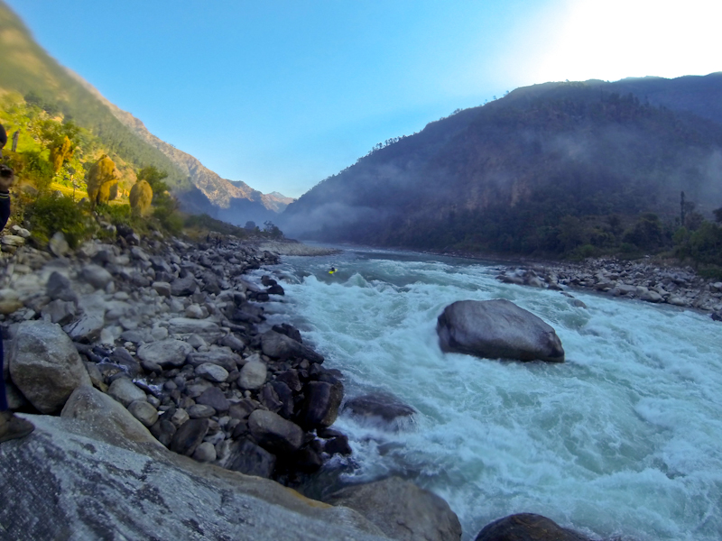 Early morning below the Tila.
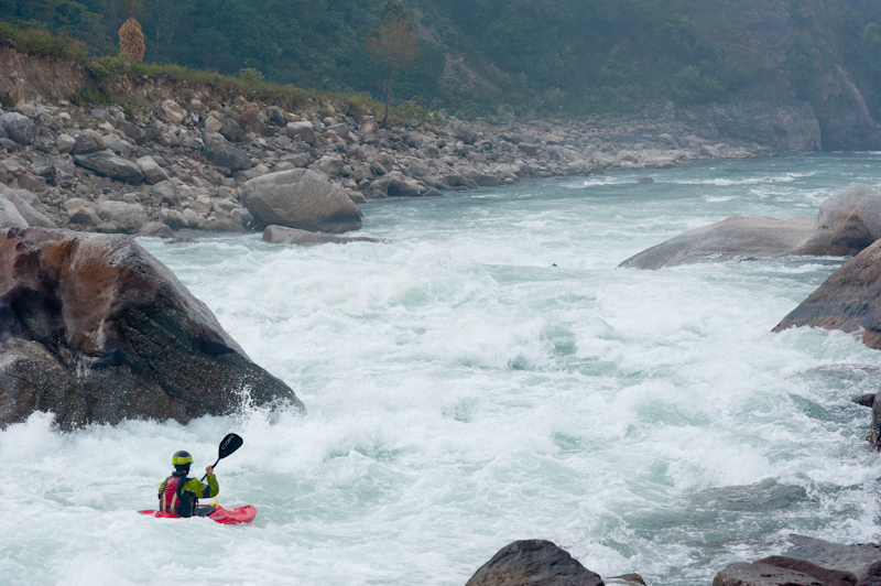 One of the last big rapids in the section below the Tila confluence. The black dot in the middle of the photo is the tip of a paddle blade.
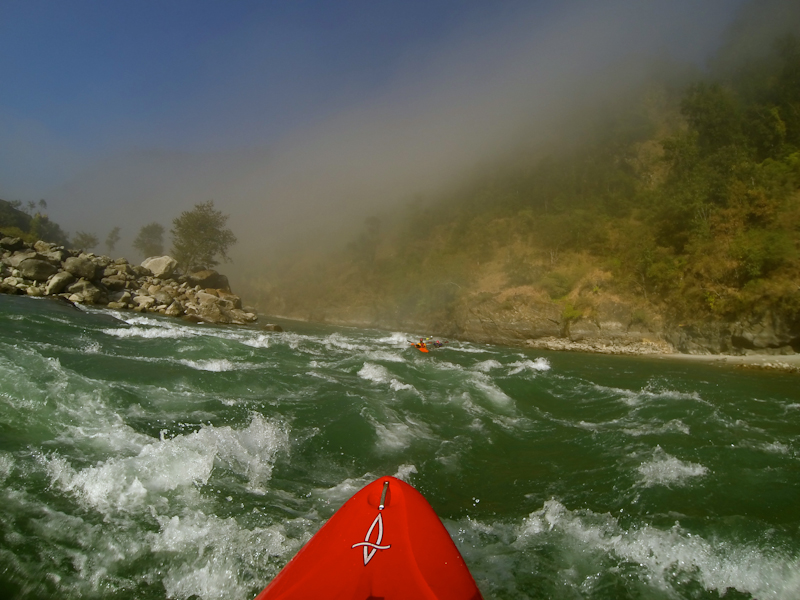 Approaching the take out on day 7.
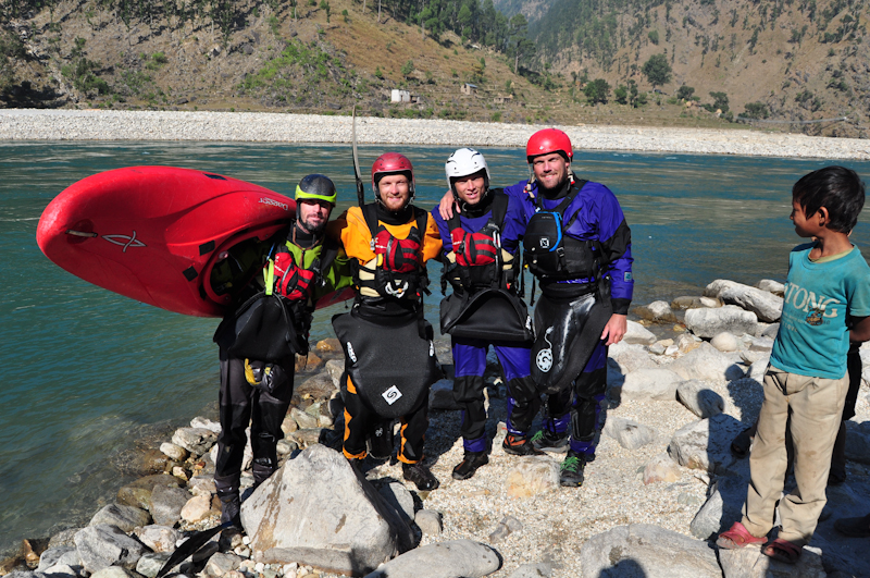 Team photo.
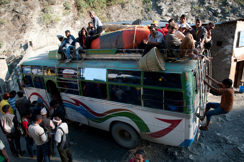 The overloaded bus from hell. By far the best exit from the Humla is to paddle all the way to the main road bridge another 3 days down river.
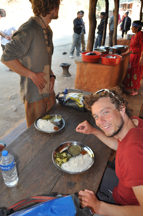 Nepal's national meal.
Updated October 20, 2015

